CONTACT INFORMATION
@Copyright 2020

ITS via our principal Chartworld can cover all your needs for official Admiralty digital products & services.
Official Electronic Navigational Charts – ENCs – are vector-based electronic charts, designed to meet the relevant chart carriage requirements of the IMO Safety of Life At Sea (SOLAS) convention. During installation into the ECDIS system ENC files are converted to the SENC (System Electronic Navigational Chart) data with similar contents. ENCs are produced by Governmental Hydrographic offices of different nations, each Hydrographic Office is responsible for production and updates ENC for its territory.
* ACES
For customers of eGlobe G2 ECDIS, ChartWorld distributes ENC data in SENC format. ChartWorld SENC distribution, with ACES (Advanced ChartWorld ENC Service) as its designated name, has been tested and approved by DNV for compliance, with DNV Report No. 2002-1392 rev. 02 Requirements for SENC distribution.
* AVCS
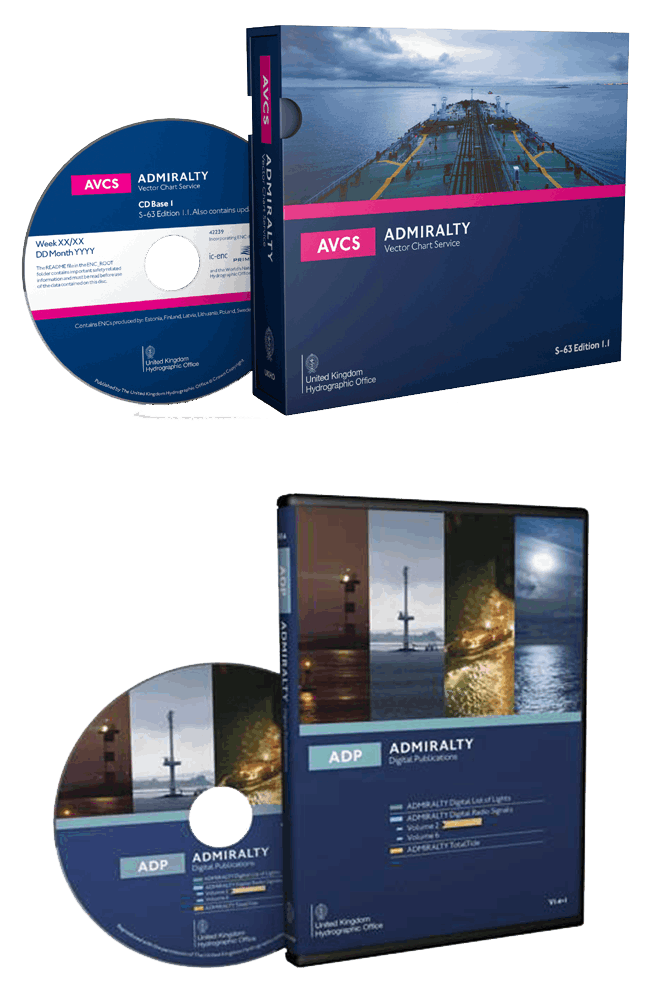
The Admiralty Vector Chart Service brings together Electronic Navigational Charts (ENCs) from HOs around the world with new ENCs produced by UKHO, in co-operation with foreign governments; this is done to provide the most comprehensive, official, worldwide nautical chart coverage available. AVCS only contains ENCs that meet Safety of Life at Sea (SOLAS) Carriage Requirements for use within Electronic Chart Display and Information Systems (ECDIS).
Built with Mobirise free creator